UAV Data Processing
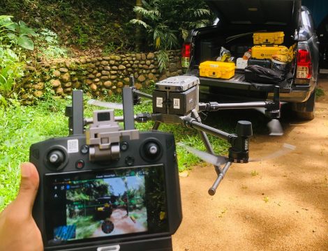
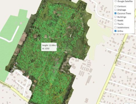
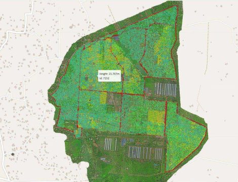
In addition to using our own licensed and certified pilots to carry out drone surveys, we also process drone data collected by our clients. In certain cases, Our clients capture their own drone imagery but don’t have the time or in-house expertise to undertake more than basic image processing and basic volume calculations. The basic data that is obtained from drones is an ortho-photograph (a photo that has all distortions removed and allows distances and angles to be measured directly from the photo). With further processing, these data can be converted to DSM( Digital Surface Model and Digital Terrain models, We at DASIS are consisted of members experienced in UAV data processing and would like to provide our service in UAV data processing,
Related projects