Industries ›

Surveying

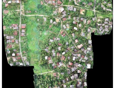
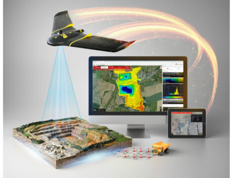
Surveys provide critical information that enables better decision-making in construction site planning, in upkeeping already existing infrastructure, etc. Equipped with powerful commercial tools, and with their ability to capture data from above, drones have been successfully integrated into surveying workflows to perform land surveys, photogrammetry, 3D mapping, topographic surveying, and more.

Excelling at rapidly acquiring data from vantage points inaccessible to humans, drones make it no longer necessary for human operators to physically access and measure points in hazardous or difficult-to-reach locations. Further, integrating drones into surveying operations has drastically decreased its incorporated time and costs.

- Less time and fewer costs
- Less disruptions
- More precise data
- Ability to access inaccessible terrains

Related projects
Mini Hydro Project - Haldummulla

Mini Hydro Project - Haldummulla

View Project
Analysis of Algae Cultivation of Diyawanna Oya

Analysis of Algae Cultivation of Diyawanna Oya

View Project
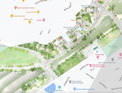
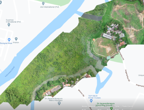
Water Body Analysis of Sri Jayawardenepura Wetland

Water Body Analysis of Sri Jayawardenepura Wetland

View Project
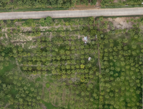
Agricultural Land Inspection - Puttalam

Agricultural Land Inspection - Puttalam

View Project
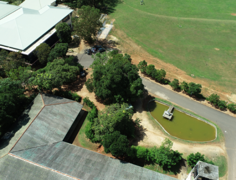
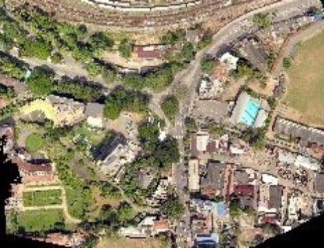
Aerial Inspection of Sabaragamuwa University Sri Lanka

Aerial Inspection of Sabaragamuwa University Sri Lanka

View Project
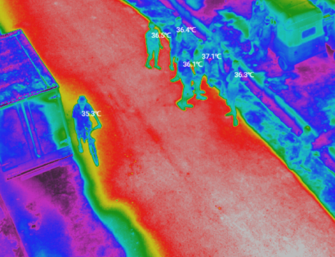
Covid-19 Lockdown Area civilian body temperature inspection

Covid-19 Lockdown Area civilian body temperature inspection

View Project
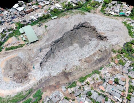
Meethotamilla Garbage Dump Collapse Accident

Meethotamilla Garbage Dump Collapse Accident

View Project
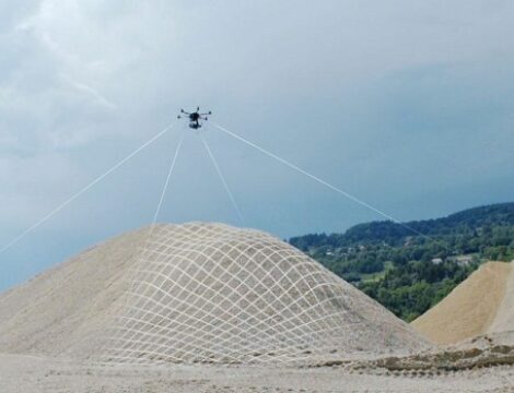
Volume calculation of Muthurajawela Sand Stock Pile

Volume calculation of Muthurajawela Sand Stock Pile

View Project
Feasibility Study of Wastewater Management System - Galle

Feasibility Study of Wastewater Management System - Galle

View Project
Feasibility Study of Wastewater Management System - Negombo

Feasibility Study of Wastewater Management System - Negombo

View Project
Surveying