Estate Mapping and Tree Counting - Ceylon Biscuits Limited
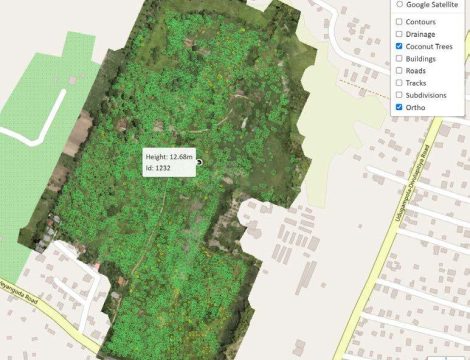
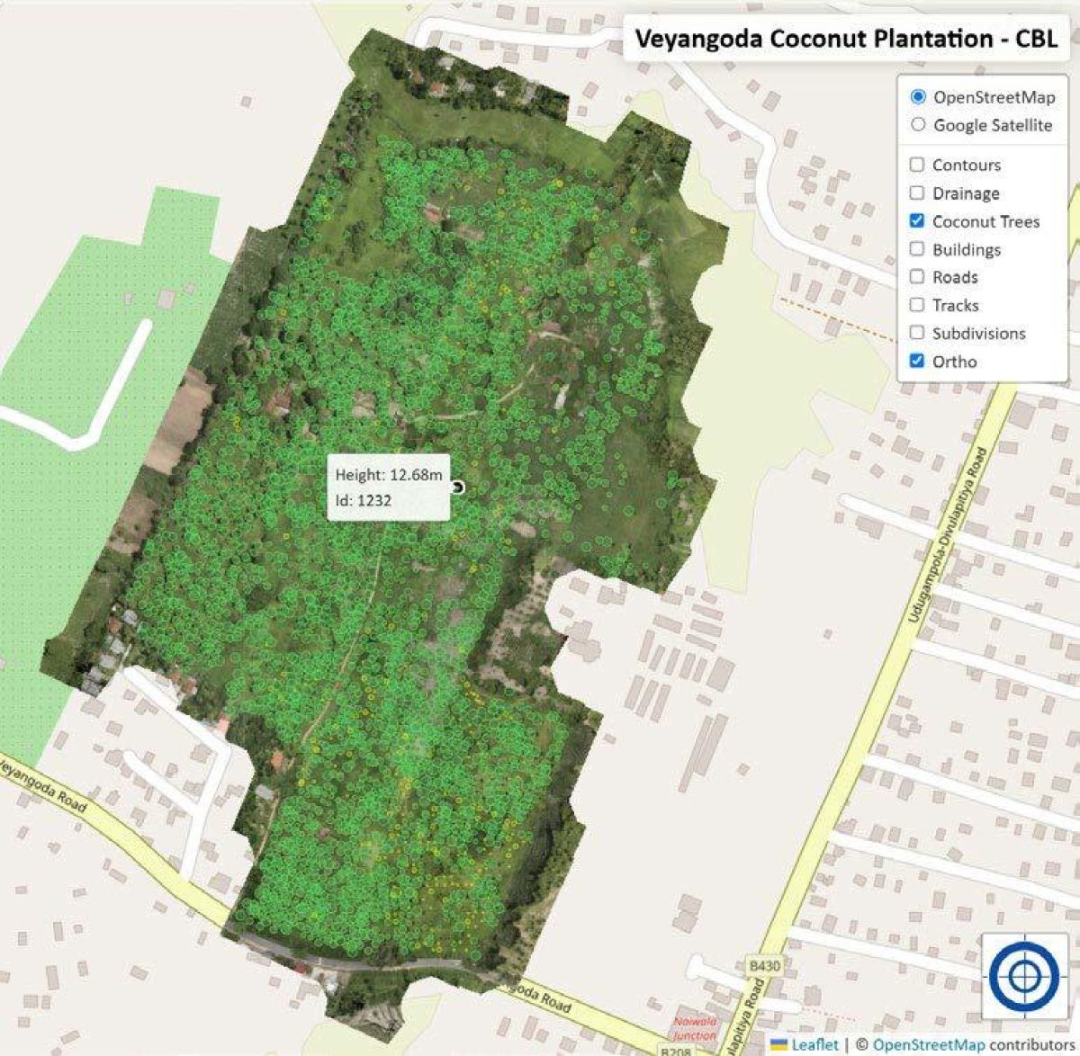
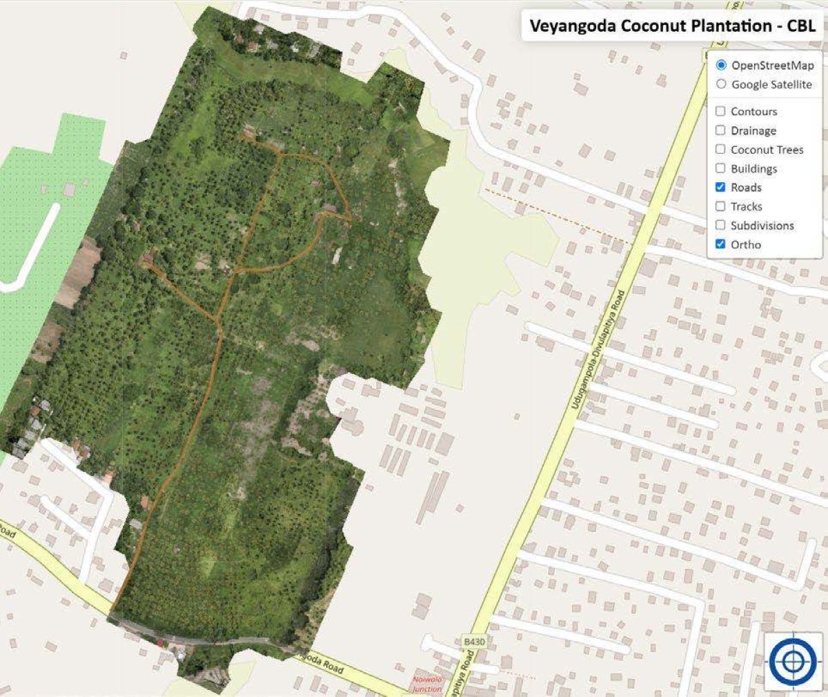
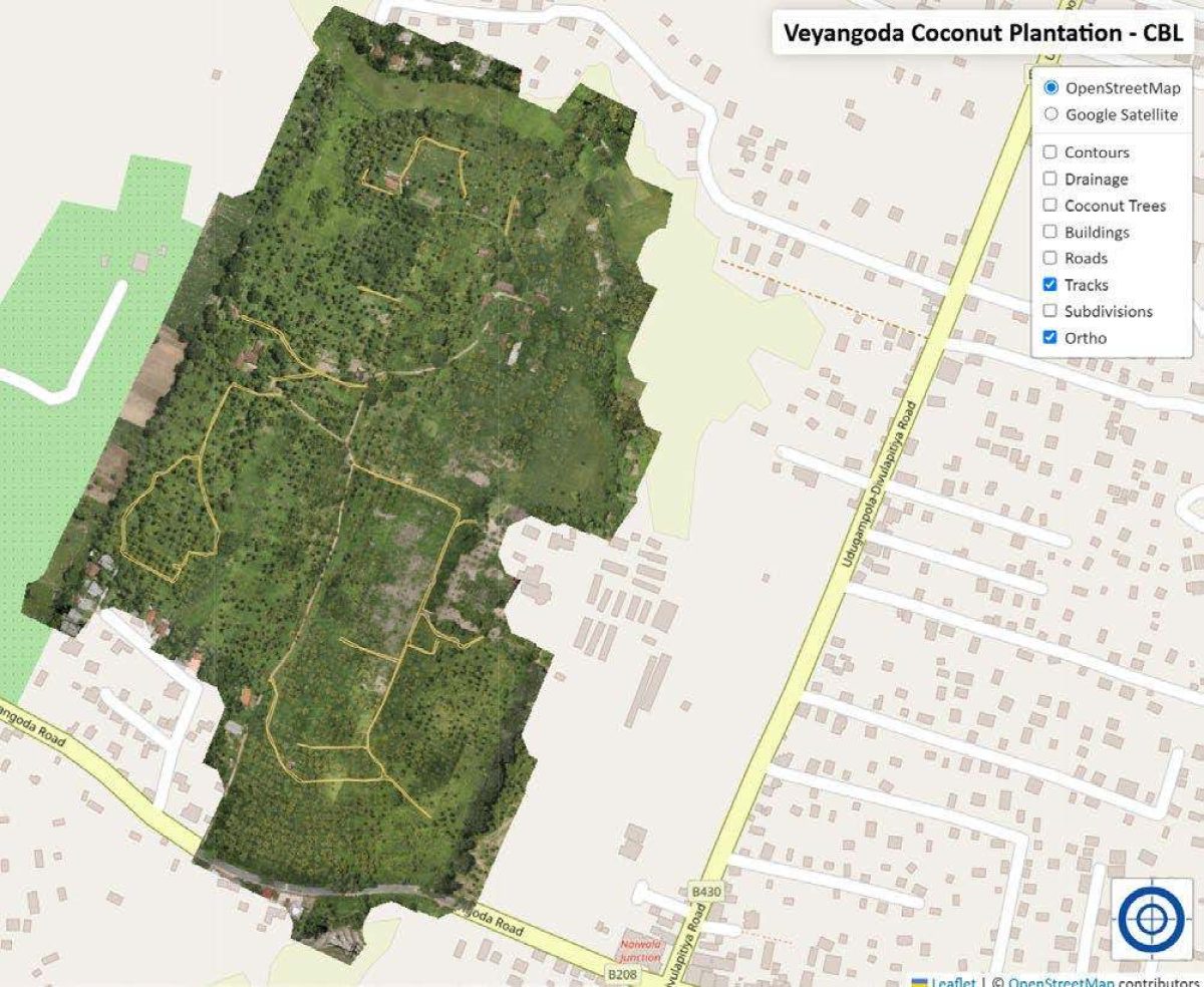
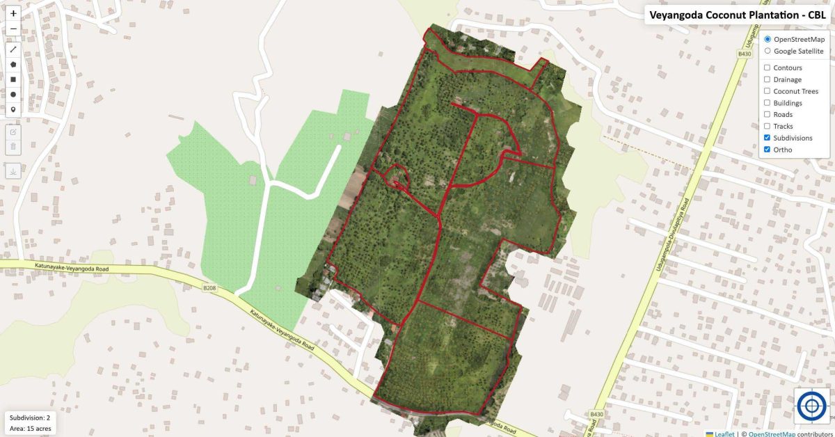
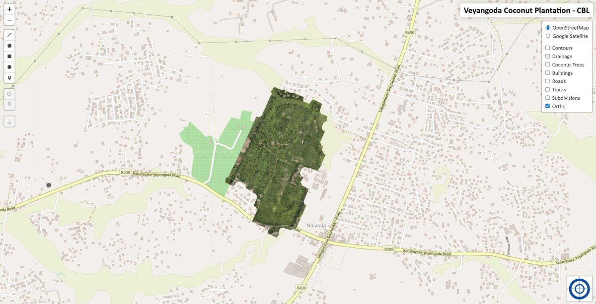
The primary objective was to divide the estate into equal plots, accurately count coconut trees, and classify them by size for optimized plantation management. Advanced LiDAR technology was utilized to generate high-resolution orthoimages and 3D models, while LiDAR360 software facilitated precise tree counting and classification into small, medium, and large categories. Detailed mapping was created to support land division and plantation management. The results provided an accurate tree count and size distribution, enabling efficient land division and improved plantation management. Additionally, decision-making was enhanced through precise spatial data and visualization, integrating an open-source Web GIS platform, VisiGeo.