Real Estate
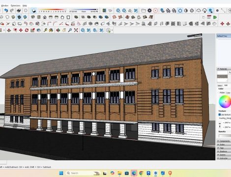
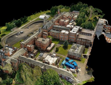
The use of drone technology has also increased enormously in the real estate industry in recent years. With Drone surveys, Digital and multi-perspective site visits are now possible. The investment decision can be supported by high-resolution 360° images and videos of the object and support the sales story emotionally. In addition, the high-resolution images are used for technical due diligence analysis to identify potential risks or lead to a reduction in the purchase price. But even in site analysis, these data provide significant added value. High-quality analyzes of the micro-location can present the advantages and disadvantages of the property in an efficient and meaningful way and help with strategic forecasts on the interaction of the investment property with its sub-market.
Related projects